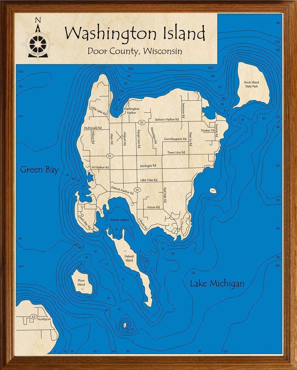
Washington Island
3D carved wooden lake maps capture all of the details of Washington Island both above and below the water. Each lake art map is based on state bathometric surveys and navigational charts to ensure their accuracy. The wood charts are then laser cut and reassembled creating a stair-step effect of the lake

